
Sun Valley ZIP Code Coverage
Reviewed public sources support one primary postal area for Sun Valley: 89433. It appears on county park and community addresses and in USPS lookup material. That does not turn the postal area into a municipal border. Sun Valley is an unincorporated Washoe County census-designated place, and county parcel, service-district, CAB, precinct, and census boundaries can overlap the same postal address in different ways. No official polygon comparison or confirmed secondary ZIP for a CDP edge was found, so no extra ZIP is listed here.
| ZIP | Areas Covered | Post Office | Notes |
|---|---|---|---|
| 89433 | Sun Valley and a nearby north-valley service area | Sun Valley Post Office listing | Primary ZIP associated with Sun Valley in reviewed sources; an official ZIP-polygon and CDP-edge comparison was not confirmed. |
The county uses 89433 for Sun Valley Regional Park, and a Washoe election notice used the same postal label for the Sun Valley Neighborhood Center. Those are address examples, not a complete delivery list or a count of households. The USPS location listing is useful for recognizing the local postal point, but its dynamic information should not be treated as a permanent statement of hours or services.
That distinction is the useful ZIP code directory quirk: one familiar postal label can sit beside several public geography layers. Note: Keep the street line and source date with every result, because a postal label alone cannot settle jurisdiction.
Confirm a Sun Valley ZIP Address
Use the USPS ZIP Code Lookup to normalize a known address before opening county records. Its address form uses Street Address, City, and State, with Company, Apt/Suite/Other, and ZIP Code available where relevant. It can also search by city and state or return covered city names from a ZIP. Add a unit when several matches are possible. USPS cautions that a ZIP result does not confirm that a person or company is at an address.
The USPS lookup screen shows the address-validation route used before a parcel search.
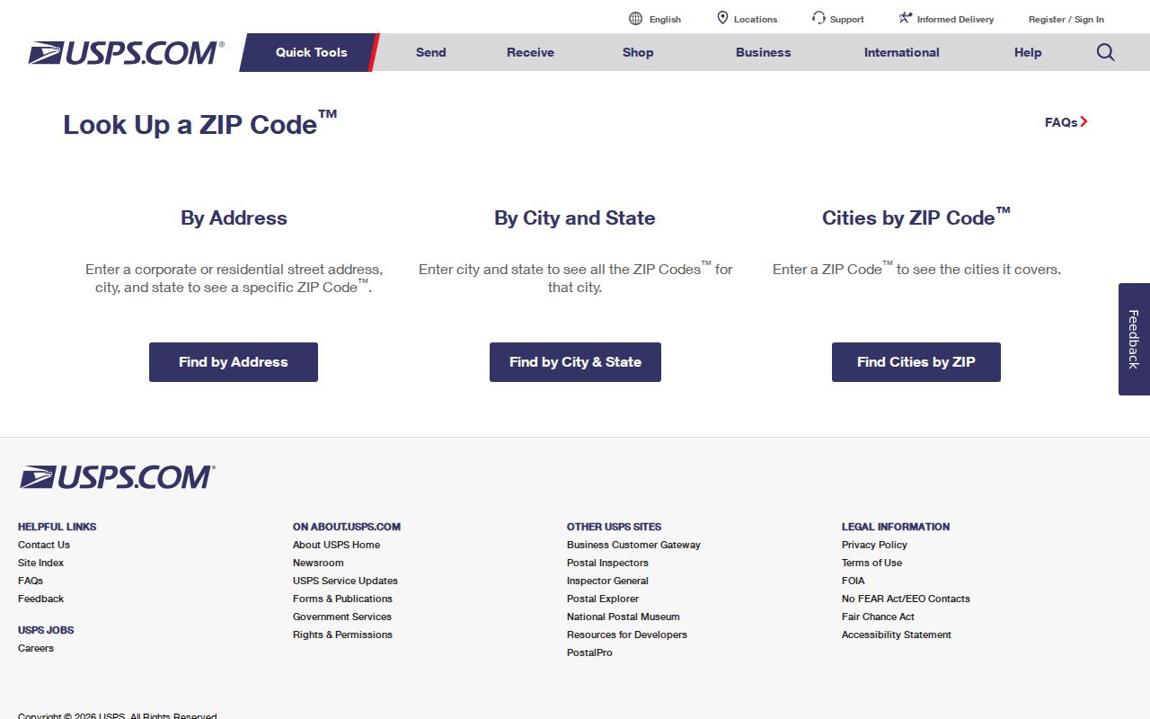
Postal normalization supplies a clean address string; it is not identity evidence and should not replace the county record trail.
- ZIP code
- A postal delivery grouping used to route mail, not a census of residents or a local-government boundary.
- ZIP+4
- An added four-digit delivery refinement used with a base ZIP; it does not change parcel ownership or jurisdiction.
- PO-box ZIP
- A ZIP assigned for post-office boxes that can differ from the physical location of a parcel.
- Carrier route
- A mail-delivery route within postal operations, not a public list of people at the addresses it serves.
Sun Valley Parcel Search Fields
Neither the Washoe County Assessor nor the Washoe Regional Mapping System exposes a ZIP-only resident or owner search in the reviewed interfaces. A ZIP is instead a starting point for a full address. The Assessor accepts an address or street, owner, APN, and Assessor Book/Page modes. WRMS accepts an address, street, street intersection, or parcel number and offers a Sun Valley location preset. These tools lead to parcels and geography, not a ZIP-wide roster.
| Tool | Documented field or control | How it helps after ZIP confirmation |
|---|---|---|
| Assessor Property Search | Street/situs, APN, owner, Assessor Book/Page | Find the parcel card and compare APN, situs, owner, last-document date, and map links. |
| WRMS | Address, Street, Street Intersection, Parcel Number | Open parcel context, surrounding polygons, and county layers for a confirmed address. |
| WRMS tools | Map Layers, Identify, Buffer, Select | Inspect mapped geography without treating parcel outlines as legal boundary proof. |
The Assessor result table can sort APN, SITUS, OWNER, and LAST DOC DATE. Its parcel card distinguishes the situs, the physical location, from a tax mailing address, which may be elsewhere. Its assessment data is not complete proof of occupancy, and the county says building, permit, zoning, and boundary questions need the appropriate office.
Sun Valley Address Workflow
A ZIP code directory can narrow a record search without promising a ZIP-wide list. Follow one address through the keys each custodian actually accepts. The sequence avoids the common mistake of entering a ZIP where a portal needs a name, date, APN, or street address.
- Use USPS to normalize the full address and determine whether it returns 89433. Preserve apartment or suite information if the postal result needs it.
- Search the Washoe County Assessor Property Search by street/situs or APN. Record the APN, situs, owner or trustee, legal description, sales or transfer fields, and last-document date.
- Open the address or parcel in WRMS. Use the Sun Valley preset or address search, then inspect the parcel and relevant public-service layers.
- Move to ICRIS with a party name and approximate date from an Assessor transfer. The Recorder indexes names and dates, not a ZIP, address, APN, or legal description.
- For older occupant context, ask Downtown Reno Library staff for historical city or telephone directories, then compare newspapers, maps, and census-era material by date.
Once a postal area has been reduced to a particular street, the Sun Valley streets reference is the appropriate address-by-address path. It keeps ZIP geography separate from the broader street record chain.
Sun Valley Postal Layers Compared
Sun Valley has several valid geographic descriptions, but they answer different questions. Census and TIGER material describes a CDP. The county describes an unincorporated neighborhood. WRMS maps parcels, service districts, city boundaries, road jurisdiction, census geography, and other layers. A postal ZIP guides delivery. Treating any one of them as the other creates false certainty about an address.
TIGERweb’s Sun Valley CDP geography illustrates the census layer that sits beside, rather than inside, the postal research route.
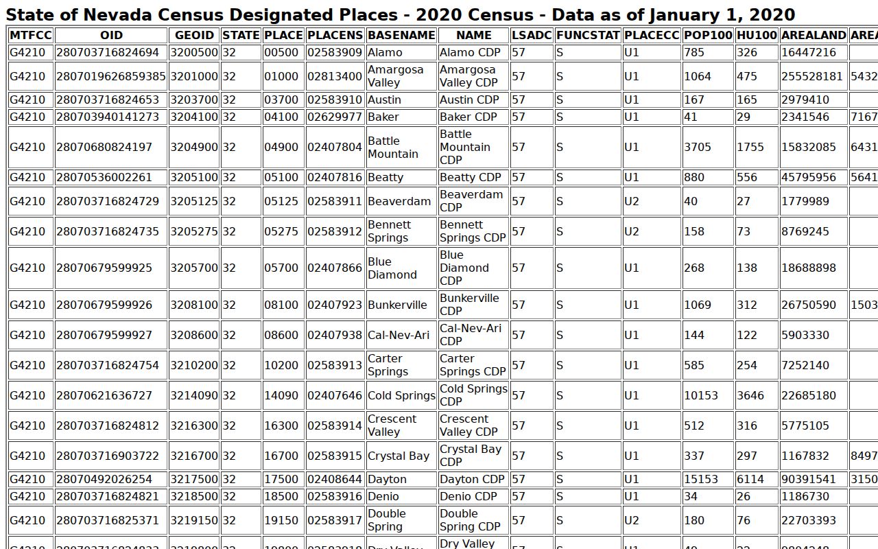
The CDP display is useful for labeling census geography, while an Assessor or WRMS result remains the better source for a particular parcel.
County public-record requests can clarify custody when a service or boundary question is not answered by the map. Under NRS Chapter 239, ask for the specific record, address, APN, or time period rather than a broad postal-area list.
89433 Across Sun Valley Districts
State legislative material includes 89433 among Washoe ZIPs and marks it as occurring in more than one Assembly district. That notation is a political-district cross-check, not a ZIP boundary map and not evidence that all 89433 addresses share a precinct, school area, fire response district, or GID service area. Use the Washoe district map with a full street address when the question is district assignment.
WRMS Quick Maps can add CAB, GID, commissioner district, city boundary, road-jurisdiction, fire-response, zoning, and census layers. Adjacent addresses may sit in different service or political areas even when their mailing ZIP matches. Note: A map overlay describes geography, not the people living at an address.
Sun Valley Voter Record Limits
Nevada Secretary of State My Voter File is an individual registration-confirmation tool. It requests first name, last name, date of birth, and either a Nevada driver-license or ID number or the last four digits of an SSN. It may return registration, precinct, party, participation history, and voting information, but it is not a public ZIP code roster. The Washoe district map also takes an address to return district assignments, not names of everyone nearby.
Washoe publishes voter data and allows formal file-request routes, with protected information excluded. NRS 293.558 protects identifiers and supports address and phone withholding. A downloaded file can be checked against the county’s posted SHA-256 hash, but a valid file still needs careful reading of its field definitions and publication date. No ZIP-wide voter, Assessor, or Recorder roster was located in the reviewed sources.
Sun Valley Address History Checks
For older records, a modern postal label can be misleading. A directory may use Reno for a nearby address later labeled Sun Valley; a PO box can use a postal ZIP unrelated to the physical situs; parcel splits or a changed unit number can alter an address line. Preserve the street, APN, legal description, subdivision or parcel-map reference, and the year of each source. Those details make it possible to compare a deed, directory, newspaper notice, or map without assuming postal continuity.
The Recorder’s online real-estate index begins in November 1991 and online images begin August 16, 1999. Earlier work moves to Recorder books and microfiche, staff guidance, and library or archival resources. The Recorder’s current collaboration with UNR will scan selected historical record books, but it does not create complete online coverage. No ZIP split, realignment year, or confirmed historic 89433 polygon was found in the reviewed sources.
Sun Valley Postal Reference Check
Postal research has a narrow but valuable role. It can normalize a present address, distinguish a PO box from a physical situs, and show why an old directory label should not be silently converted to a modern one. It cannot establish ownership, occupancy, a complete resident group, or a parcel boundary. Where a result matters, retain the original line exactly as printed and then compare it with the dated county record.
The Sun Valley USPS location detail provides the postal reference used for this local check.
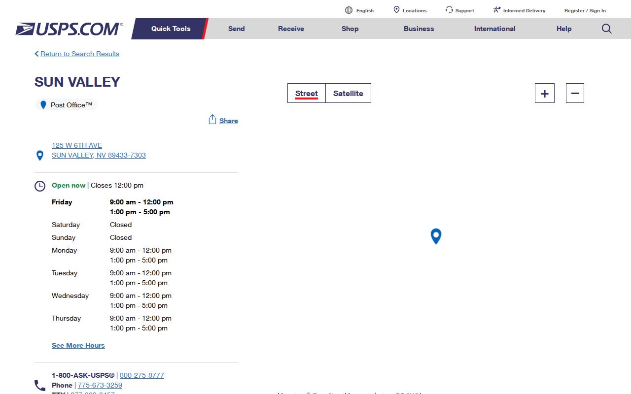
The location view supports the postal layer of a search, while the Assessor, WRMS, Recorder, and library sources answer separate parcel and historical questions.