
Search Sun Valley Streets by Address
Sun Valley is an unincorporated Washoe County community, so the useful address trail begins with county systems rather than a municipal property office. Start with the full physical address in the Assessor search. A street-only query can return several parcels, especially where a road has more than one number range. Compare the situs, APN, owner or trustee, legal description, subdivision, and last document date before treating a result as the right parcel. The Assessor and the Washoe Regional Mapping System, or WRMS, are the address-first tools for a Sun Valley street directory search.
- Enter the address or a narrow street-and-number query in the Washoe County Assessor Property Search. Save the APN, situs, current owner or trustee, legal description, transfer row, and last-document date.
- Use the owner, transfer date, document number, and legal description to make the parcel record specific. A separate mailing address may help identify the titled owner, but it does not establish who occupies the situs.
- Search recorded parties and an approximate date in ICRIS. Follow the recorded buyer and seller names backward through the deed path rather than trying to enter the address there.
- For an individual whose identity is already known, use Nevada’s My Voter File as an identity-confirmation route. It requires name, birth date, and an identifier, so it is not a street roster.
- Ask Downtown Reno Library reference staff for the appropriate reverse or criss-cross directory volume. That address-first material can supply a historical occupant clue for a specific year.
Those steps keep ownership, registered-voter information, and historical occupancy in their proper lanes. They also leave a useful audit trail when a parcel has changed hands, been divided, or carries more than one address.
Sun Valley Parcel Search Fields
The Assessor results page is the main pivot for a street directory lookup. Its public search modes include APN, street or situs, owner, and Assessor Book/Page. County online-data material also documents a percent wildcard for owner-name variations. Returned rows can be sorted by APN, SITUS, OWNER, or LAST DOC DATE, then opened toward WRMS or a parcel map. The property card carries assessment data, so permit counts and zoning should be verified with the responsible county office.
| Assessor field | Input type | When to use it | Result cue |
|---|---|---|---|
| APN | Text | Pin down one parcel | County parcel identifier |
| Street / situs | Text | Browse a road or house number | Physical address shown as SITUS |
| Owner | Text | Connect a known owner to land | % may broaden a name variation |
| Assessor Book/Page | Mode or text pair | Map and book-oriented research | County online-data material lists this mode |
| WRMS / Parcel Map | Result links | Move from a row to map context | Spatial parcel review |
The Assessor’s online-data page documents these search choices and the related result fields.
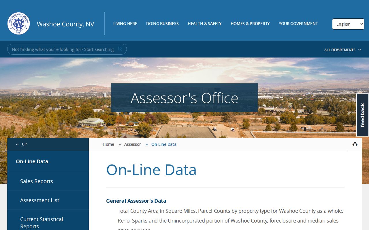
Use the displayed APN and legal description to hold the search to the same land when a postal line or parcel configuration changes.
Note: Assessment records are useful starting evidence, but the county says their summary data may not fully represent every parcel or improvement.
Sun Valley WRMS Street Context
WRMS provides the spatial check after a parcel result. Choose Sun Valley from the location menu or search an address, street, intersection, or parcel number. The Streets & Parcels basemap and parcel layer make it possible to move along a road segment and open parcel information. A click can expose links to Property Assessment Data, Tax Information, FEMA information, and related documents. The map also offers Quick Maps for road jurisdiction, regulatory zoning, fire response, GID, CAB, city boundaries, and Township/Range/Section.
A multi-address parcel may show only one address, and map outlines are not legal boundary determinations. WRMS is therefore best used to compare parcel placement and public-service layers, then to return to the appropriate county custodian for a title or boundary question. Its buffer and selection tools are mapping functions, not a list of household members.
The Washoe Regional Mapping System shows the available search and layer tools.
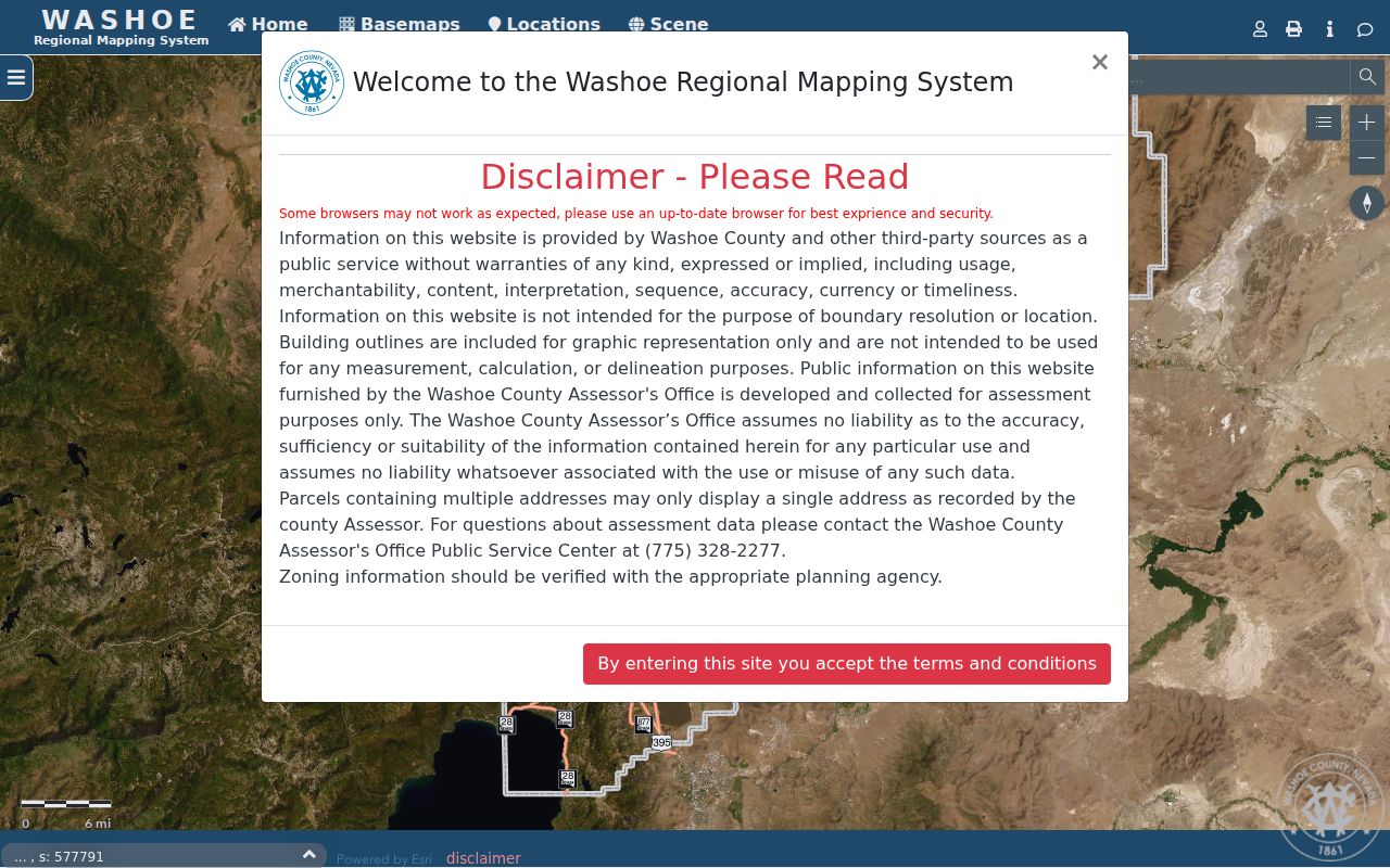
Parcel context can reveal why two nearby addresses sit in different service, zoning, or jurisdiction layers without implying anything about the people at either address.
Sun Valley Address Records Matrix
No single public system is a complete Sun Valley street directory. Address-keyed records each describe a different part of the location. The table separates current parcel facts from recorded transactions, permits, civic evidence, and historical sources. The best result is a documented chain, not a claim that every name associated with a parcel lives there now.
| Address record | Custodian | What it can show | Access and limit |
|---|---|---|---|
| Assessor parcel card | Washoe Assessor | APN, situs, owner or trustee, mailing address, legal description, transfers | Online by address, street, APN, or owner; assessment-purpose data |
| Parcel map and layers | WRMS | Parcel geometry, adjacent lots, districts, and linked context | Public map; not a legal boundary or measurement source |
| Recorded instruments | Washoe Recorder | Parties, document type, recording date, and document number | Name and approximate date, not an address query |
| Permit history | Building and Planning | Project status, dates, type, and description | Address, APN, or permit number; historic online cutoff is not stated |
| Code case | Code Enforcement | Complaint or case status tied to an address or APN | Unincorporated county route; confidentiality can vary in an open case |
| Reverse directory | Downtown Reno Library | Historical address-to-name clue | Exact volume years need staff confirmation |
For records not held by a specialized portal, the county’s public-records request portal provides a route under the Nevada Public Records Act. A narrow request that states the dates, APN, document description, or case number is less likely to need referral or clarification.
Sun Valley Permit Address Evidence
Permit and code records can place work at an address without proving who resided there on a particular day. Washoe County directs building research to ONE NV Permit Search, where address, APN, or permit number are the documented entry paths. Permit results may include a project description, review status, plan-check comments, issue date, type, and estimated value. Treat that timing as evidence about construction or alteration, not household composition.
Code Enforcement uses the ONE Regional Licensing and Permits Portal for address, APN, or case-number work in unincorporated county areas. A complaint narrative and enforcement progress can be public, while a complainant’s identity may become public in an open case. The county also accepts reports through Washoe311, phone, or mail.
The county ONE NV permit-search page identifies the permit-status route.
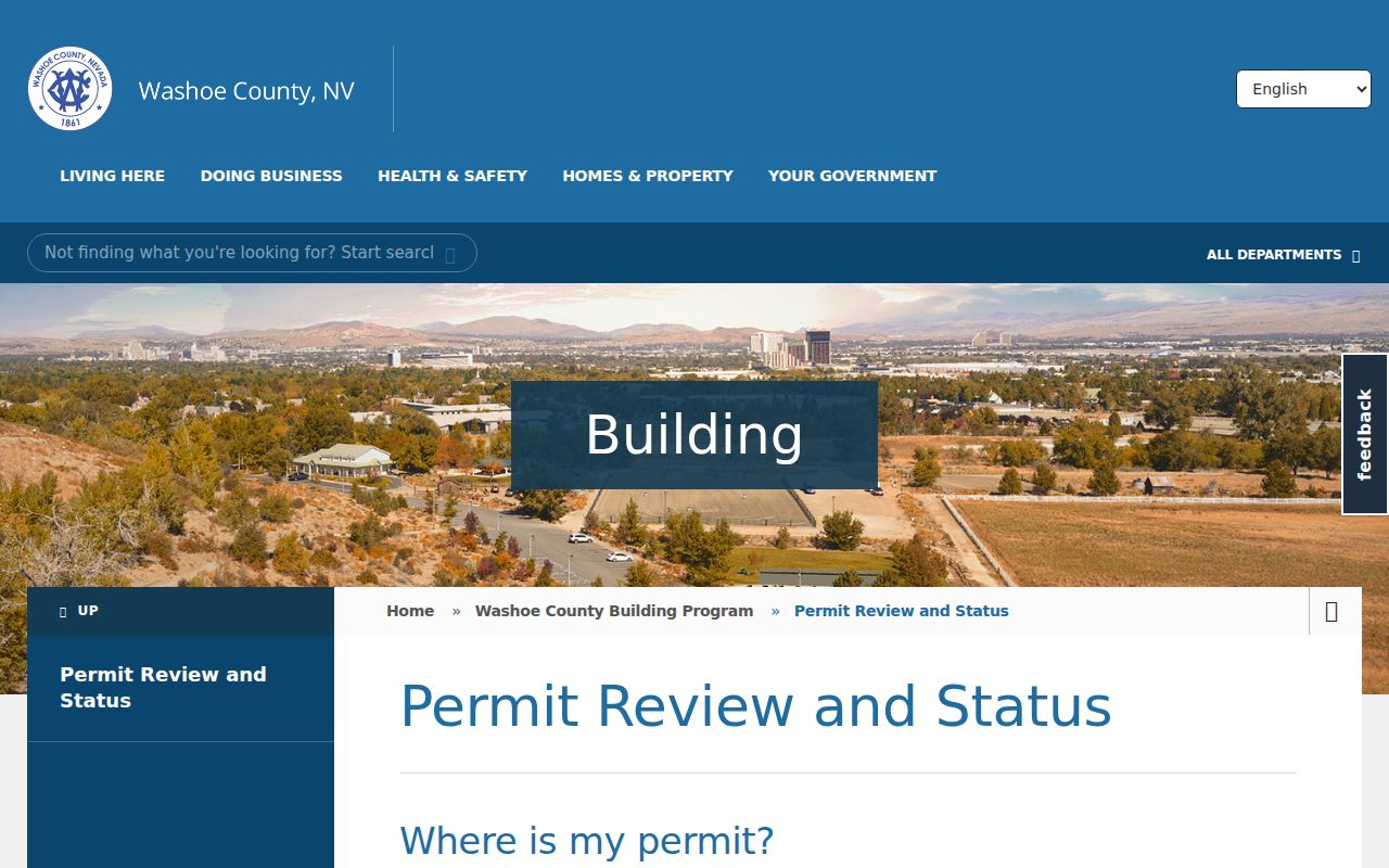
A permit number can connect a visible project to the county record, but the result should not be turned into a current-resident conclusion.
The county Code Enforcement information page explains the county complaint and case channels.
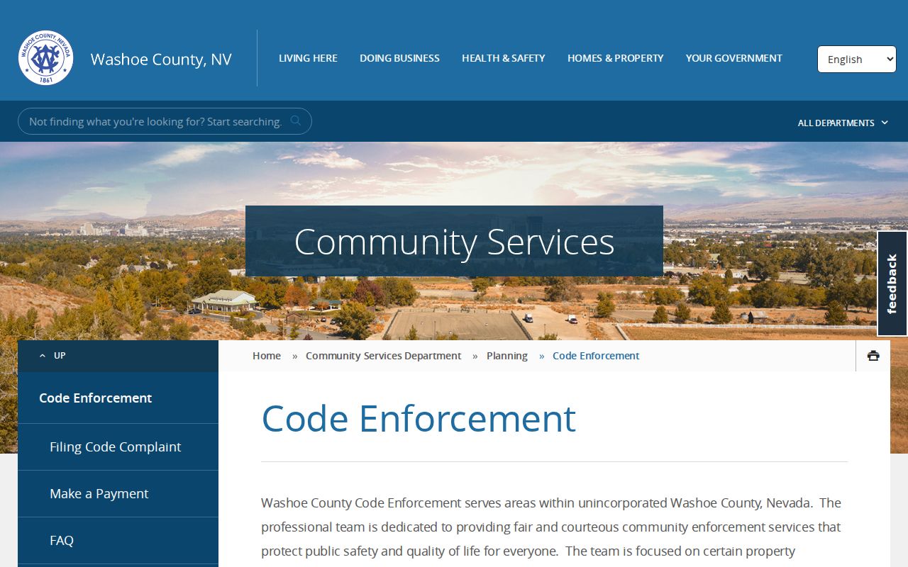
Use a case number or APN whenever possible, since a road name alone can be too broad for a reliable case match.
Sun Valley Recorder Search Quirk
The recorder supplies the deed trail, but its search rules are different from the Assessor’s. ICRIS searches a party name and an approximate recording or transaction date. The Recorder directs users to type a name as last name, space, first name, with no comma. It does not search directly by situs address, legal description, or parcel number. APN indexing began in 2016 and has been supplemented from Assessor data, but the Recorder says that coverage is not complete or guaranteed.
That mismatch is a useful safeguard. Start with the Assessor transfer row, then carry the owner, seller, recording date, and document number into ICRIS. On a deed, a grantor is the person or entity transferring an interest and a grantee is the person or entity receiving it. Each prior seller can become the next earlier grantee search. The Recorder does not provide a title-search service, so preserve each document number and legal description as the chain grows.
The Recorder’s property-search guidance sets out the grantor-grantee search method.
The name-format rule explains why a correct parcel can still produce no result until the party and approximate date are carried over from the Assessor record.
Sun Valley Street Records, Then and Now
Online access and record age do not line up perfectly. ICRIS has an online real-estate index beginning in November 1991 and online images beginning August 16, 1999. Before the index cutoff, the Recorder keeps older index material in books and microfiche. A document can be public and still require a counter visit, staff guidance, or an archival and library route. The online cutoff is not the beginning of the underlying record.
For current address work, the Assessor card may show a prior APN, map references, sales or transfers, and a legal description. Those fields are more durable bridges than a modern mailing line when parcels split, merge, add units, or use a different postal label. The Recorder has also announced a collaboration with UNR to scan selected historical record books, but selected scanning is not a complete historical index.
Note: Compare the date of each source carefully, because a current parcel card, an older deed, and a historical directory describe different moments.
Sun Valley Parcel Terms
Address research becomes clearer once the county’s terms are kept separate. These fields recur in the Assessor card, WRMS links, and recorded instruments. They are especially important when an old address does not match the address used today.
- Parcel
- A mapped unit of land used in assessment records. The APN identifies that county record, though older parcel configurations can differ.
- Situs address
- The physical location of the parcel or building. It is different from the owner or trustee mailing address.
- Legal description
- The land-identifying description used in recorded instruments, subdivisions, surveys, and maps. It can remain useful when a street label changes.
- Plat or parcel map
- A recorded or mapped subdivision reference that helps place the parcel within a larger layout.
- Criss-cross directory
- An address-first directory that may connect a street number to a listed historical occupant for the year of that volume.
Using the APN beside the legal description reduces the risk of attaching an older document to a nearby but different Sun Valley parcel.
Sun Valley Reverse Directory Clues
Reverse and criss-cross directories are the historical complement to the modern parcel search. An alphabetical directory begins with a person, while a reverse volume begins with an address. Downtown Reno Library confirms current and historical area directories and telephone books, and its FAQ invites staff search requests that include names, dates, and any portion of an address. The research does not establish an exact local criss-cross year run, so ask for the volume that covers the target year rather than assuming a continuous series.
Preserve the spelling, initials, number, unit, and original printed postal label. A missing entry can reflect a move, an omission, a nonpublication year, or a changed listing rule. For deeper historical volumes and the collection locations themselves, use the Sun Valley city directory route rather than treating a single address clue as a full household record.
Sun Valley Voter Evidence Limits
Nevada voter information can confirm an individual’s registration status, party, precinct or district assignment, and participation history where lawfully available. The ordinary My Voter File is designed for a named individual and requires first name, last name, date of birth, and either a Nevada driver-license or ID number or the last four digits of an SSN. It is not an open list of everyone on a Sun Valley street.
Washoe’s Data Transparency page publishes downloadable registration records with a date of record and SHA-256 hash, while a public-data request may be another lawful route. Protected fields must remain protected. Nevada law also allows a registered voter to request withholding of residence address and phone from public voter lists. An owner may not be registered at the parcel, a registered voter may not be an owner, and a protected address may not appear.
Note: Voter material is best treated as individual registration evidence, not proof that every person associated with a street address is currently present.
Sun Valley Street Privacy Boundaries
Public address records have real limits. They do not reliably identify every household member, prove a current occupant from an owner mailing address, reveal restricted vital records, or expose protected voter addresses. DMV information and utility customer accounts are not substitutes for the county sources. The public map cannot resolve a title boundary simply because a building outline appears near a parcel line.
When a public record seems wrong, contact the custodian that created it. The Assessor handles assessment corrections, the Recorder can address recorded-instrument questions, and the Registrar handles voter updates and address-withholding requests.